
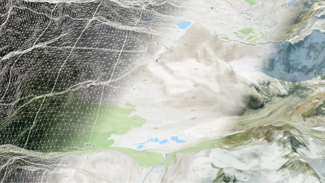
Cesium 3D terrain on-prem
Cesium JS compatible tiles served from your own machine
Detailed global street maps
Pregenerated triangulated terrain of the entire planet with resolution 30x30 meters in GeoPackage format.
Get datasetAbout the terrain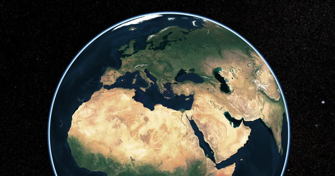
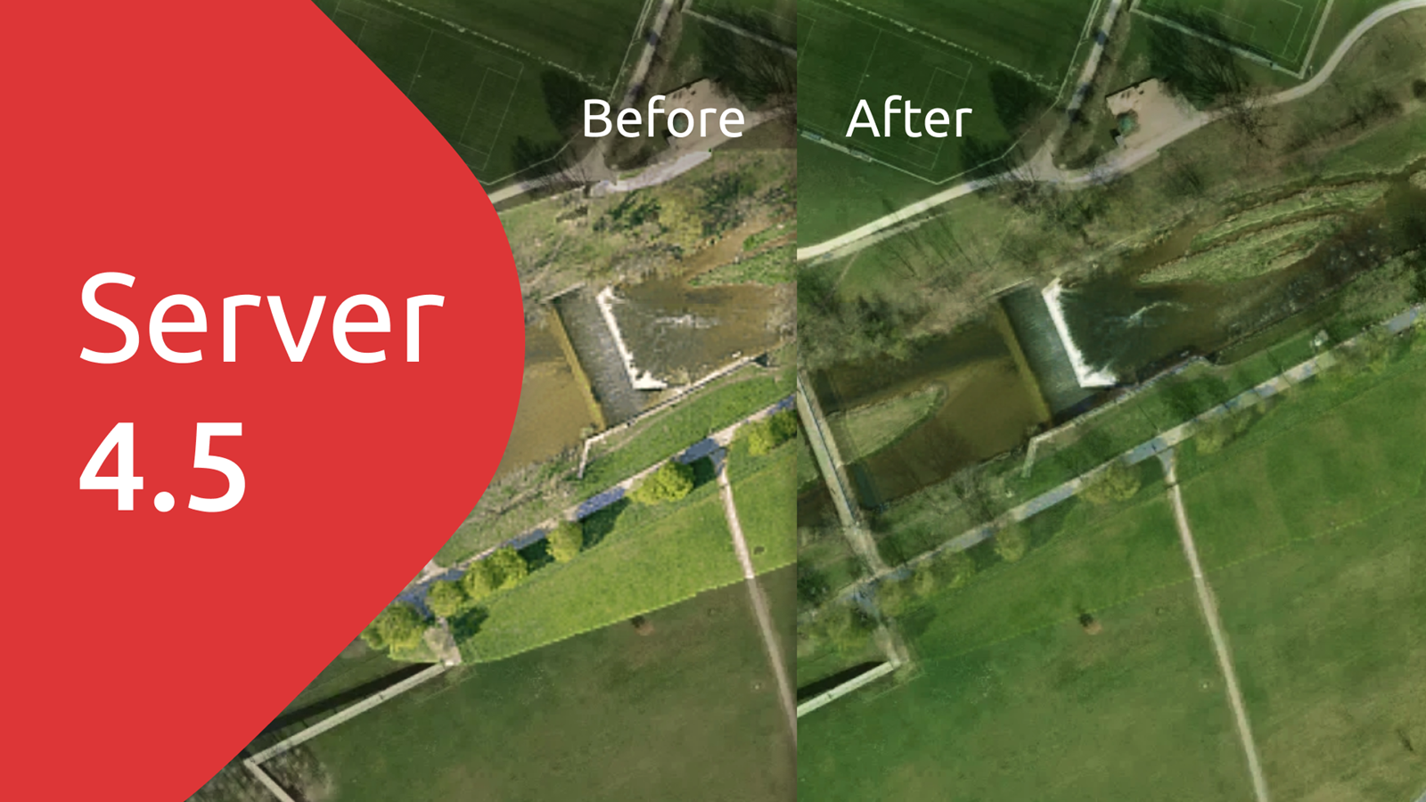
Satellite or street maps
Create natural-like sceneries by combining 3D terrain data with high-resolution aerial imagery of USA, Europe, and Japan.
Build with street basemap to add the third dimension for your hiking or other maps.
How to add basemap on top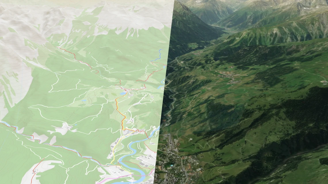
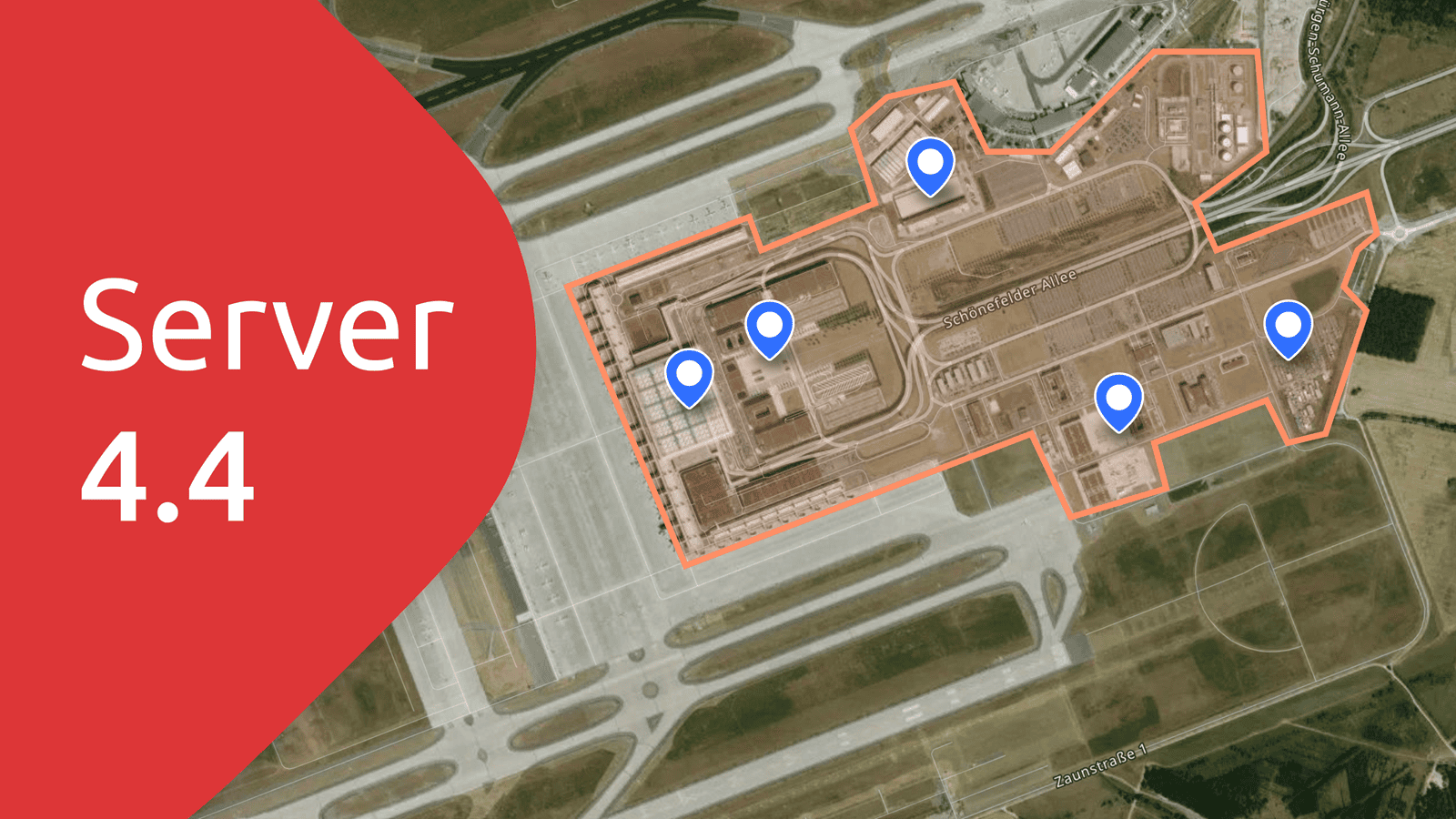
Add own imagery
Add scanned maps or your own drone imagery on top to visualize them in 3D and combine with other data like 3D point cloud.
How to add your own data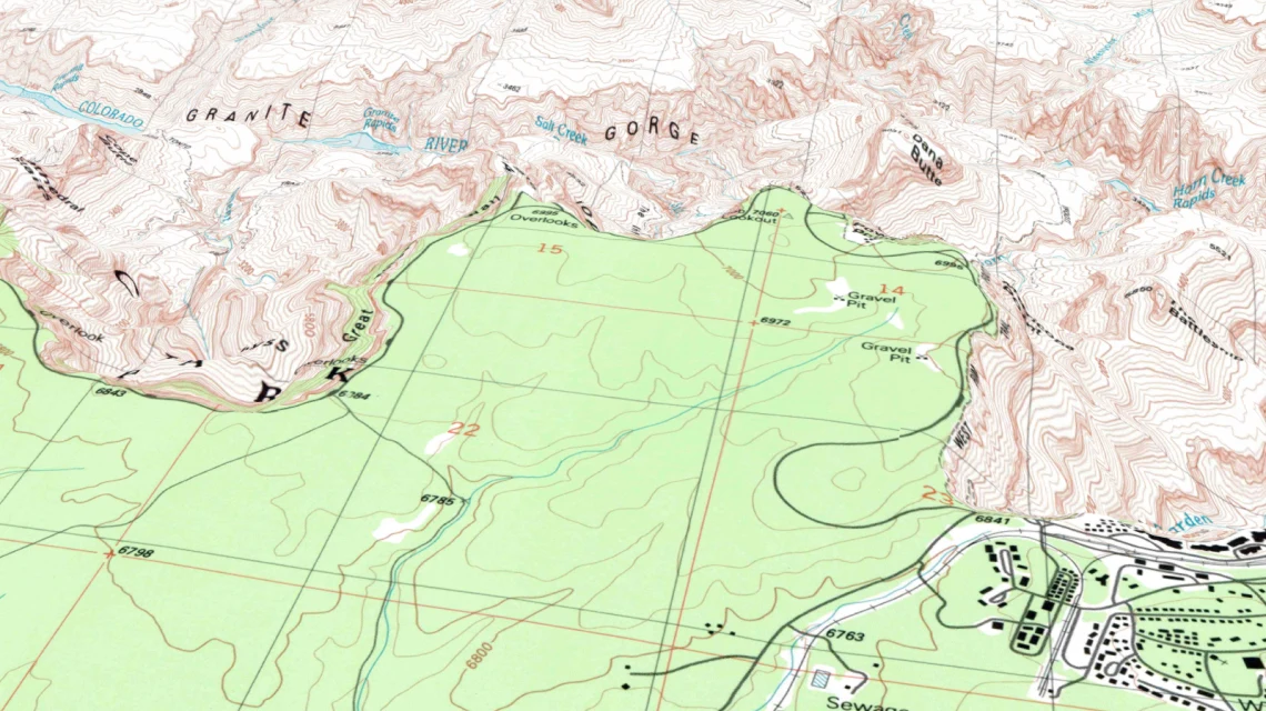
CesiumJS compatible
Visualize on the web using the most popular 3D geospatial JavaScript library.
Add own 3D buildings, models, data in KML or GeoJSON, and create time-dynamic visualizations.
Blog post announcement
Linux
- Ubuntu 20.04+ (primary support)
- Debian 10 (tested)
- RHEL 8 (tested)
- Fedora 37+ (tested)
- Centos 9+
- Mint 6 or 20+
Windows
- Windows 10+
- Windows Server 2019+
macOS 10.15+
(without map rasterization, limited support)
Docker
- MBTiles, GeoPackage
- WMTS
- WMS (only with commercial license)
- TileJSON
Tiles
- raster .mbtiles *
- vector .mbtiles *
- raster .geopackage *
- quantized mesh terrain (3D) .geopackage *
- tiles from PostGIS geometries
- free version supports only tiles from MapTiler Data or produced by MapTiler Engine
Maps
- Mapbox style
Tiles
- complete EPSG database + custom defined SRS via Proj4. Over 6000 systems world-wide
Maps
- Mercator sources only
Tiles serving
- 2 CPUs
- 2GB RAM
- 200MB disc free capacity for installation (additional for tiles)
Maps rasterization (whole planet)
- 4 CPUs
- 16GB RAM
- 100GB for tiles, fonts and other assets Read more about the performance tips here.
Raw rasterization performance is approx 3 tiles/sec on single core and Server does not solve caching by its own. Therefore setting a reverse proxy cache in production is highly recommended. Rasterization performance can be tuned in server settings/rasterization. Setting renderer pool size higher than CPUs count can slightly increase throughput but beware that every renderer allocates its own memory space.
- Google Earth
- ArcGIS for Desktop
- QGIS (Quantum GIS)
- Tableau
- uDIG
- any viewer supporting OGC WMTS
- Google Maps SDK for iOS
- Google Maps SDK for Android
- MapLibre iOS SDK
- MapLibre Android SDK
- Apple MapKit
- RouteMe
- OSMDroid
- any viewer supporting OGC WMTS or TileJSON
Free
- Only reads data downloaded from MapTiler Data or data made with MapTiler Engine
- Rasterization with watermark
- Rendering from PostgreSQL limited to 1 layer only
Commercial
- Reads any MBTiles or GeoPackage data
- Rasterization without watermark
- Unlimited layers from PostgreSQL
- Admin API available
- WMS/Static Maps available
Read latest news about MapTiler Server

Try MapTiler Server now!
Available for Windows, macOS , Linux, and Docker as a single file installer.